Planning our Aerial Mission
Today will be the first day we take to the air in a seaplane to document the oil spill from above. Setting this part of the expedition up wasn’t easy. When we first started considering this trip, some charter operators were shying away from carrying photographers. Others were happy to take media people, but could not secure clearance to fly. With the help of a few friends, we worked multiple angles and even considered bringing in a seaplane from Florida. These options didn’t work out for one reason or another, but the network of contacts we built lead us eventually to local operator Southern Seaplane.
Based out of Belle Chasse, Southern Seaplane made it a mission earlier this month to break the impasse. They were tired of hearing “Permission denied” when they wanted to fly people ranging from reporters to politicians to survey the damage inflicted by the spill. So they enlisted the help of one of their senators and eventually managed to break through the logjam. It still requires permission to fly into the restricted areas, but they’re now able to get these permissions and the special squawk codes needed to fly into the TFR areas.
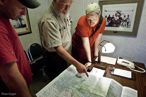
Darron and Duncan plan a route with our pilot, Dickie (Credit: Pinar Ozger)
With their help, we’ve planned out a few aerial missions of our own. The first will be out to the Deepwater Horizon site, sometimes referred to locally as “The Source.” We’ll then come back to the south and range through the wetlands to find both pristine and affected areas for a few hours. We’re going to be flying low—quite a bit lower than many previous aerial photography missions have been able to go. This is going to be one interesting flight.